46.2847
13.8712
pohodniske-tocke
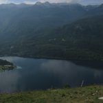
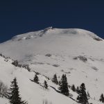
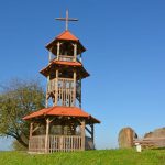
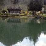
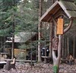
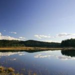
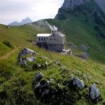
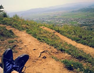
Vogar – View of Lake Bohinj
Slovenija, Gorenjska, Vogar, Bohinjska Bistrica
marker-id-1
https://www.kamnaizlet.com/wp-content/themes/glocal/images/markers/pohodniske-tocke.png
Slovenija, Gorenjska, Vogar, Bohinjska Bistrica
46.1419
15.2244
izletniske-tocke
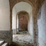
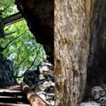
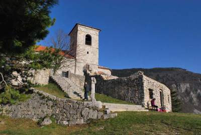
Jurklošter – Ruins of a Cistercian Monastery
Slovenija, Savinjska, Jurklošter 26, Jurklošter
marker-id-2
https://www.kamnaizlet.com/wp-content/themes/glocal/images/markers/izletniske-tocke.png
Slovenija, Savinjska, Jurklošter 26, Jurklošter
45.9211
14.7089
parki
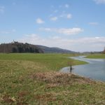
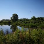
Radensko Polje Landscape Park – Mysterious Intermittent Lakes
Slovenija, Osrednjeslovenska, Radensko polje, Grosuplje
marker-id-3
https://www.kamnaizlet.com/wp-content/themes/glocal/images/markers/parki.png
Slovenija, Osrednjeslovenska, Radensko polje, Grosuplje
45.5883
14.4461
pohodniske-ture-nad-1200m
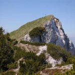
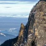
Snežnik (1,796 m) – Slovenia’s highest non-Alpine peak
Slovenija, Notranjska, Loški Potok – Retje
marker-id-4
http://www.kamnaizlet.com/wp-content/themes/glocal/images/icons/pohodniske-tocke-green.png
Slovenija, Notranjska, Loški Potok – Retje
46.4006
16.1450
naravne-znamenitosti
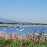
The Ormož Lagoons – a paradise for birdwatchers
Slovenija, Podravska, Ormoške lagune, Ormož
marker-id-5
https://www.kamnaizlet.com/wp-content/themes/glocal/images/markers/naravne-znamenitosti.png
Slovenija, Podravska, Ormoške lagune, Ormož
44.8666
13.8500
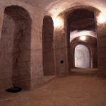
po-sledeh-cloveka-tujina
Pula – Zero Strasse, underground tunnels (Croatia)
Hrvaška, Istra, Pula
marker-id-6
https://www.kamnaizlet.com/wp-content/themes/glocal/images/markers/po-sledeh-cloveka-tujina.png
44.8666
13.8500
muzeji
Pula – Zero Strasse, underground tunnels (Croatia)
Hrvaška, Istra, Pula
marker-id-7
https://www.kamnaizlet.com/wp-content/themes/glocal/images/markers/muzeji.png
44.8512
13.8734
po-sledeh-cloveka-tujina
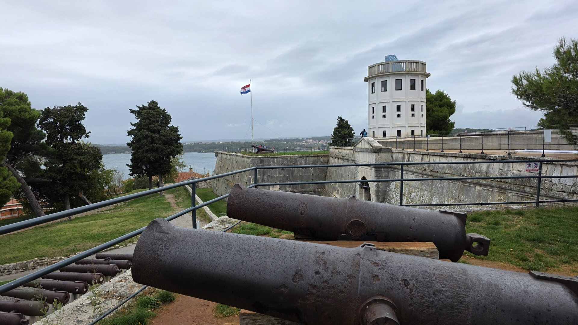
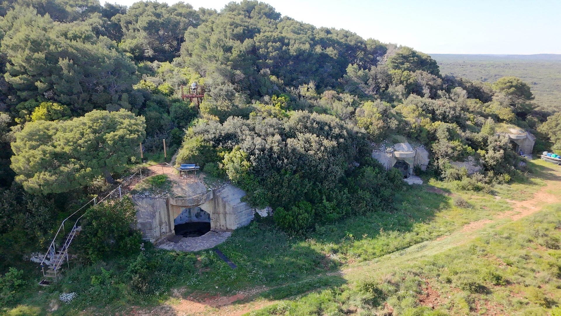
Monte Madonna – Military Fortifications (Croatia)
Hrvaška, Istra, Monte Madonna
marker-id-8
https://www.kamnaizlet.com/wp-content/themes/glocal/images/markers/po-sledeh-cloveka-tujina.png
Hrvaška, Istra, Monte Madonna
44.8512
13.8734
muzeji
Monte Madonna – Military Fortifications (Croatia)
Hrvaška, Istra, Monte Madonna
marker-id-9
https://www.kamnaizlet.com/wp-content/themes/glocal/images/markers/muzeji.png
Hrvaška, Istra, Monte Madonna
44.8282
13.9167
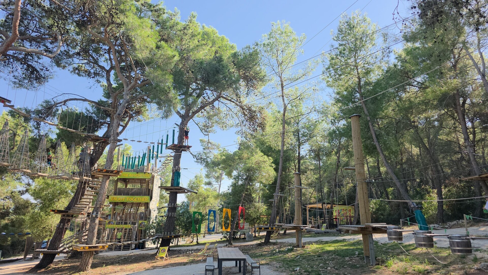
adrenalinski-izleti
Jangalooz Adventure Park, Pomer (Croatia)
Hrvaška, Istra, Pomer
marker-id-10
https://www.kamnaizlet.com/wp-content/themes/glocal/images/markers/adrenalinski-izleti.png
44.8282
13.9167
po-sledeh-cloveka-tujina
Jangalooz Adventure Park, Pomer (Croatia)
Hrvaška, Istra, Pomer
marker-id-11
https://www.kamnaizlet.com/wp-content/themes/glocal/images/markers/po-sledeh-cloveka-tujina.png
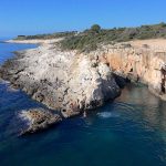
44.7636
13.9217
po-sledeh-narave-tujina
Cape Kamenjak (Croatia)
*Hrvaška, Istra, Premantura
marker-id-12
https://www.kamnaizlet.com/wp-content/themes/glocal/images/markers/po-sledeh-narave-tujina.png
*Hrvaška, Istra, Premantura
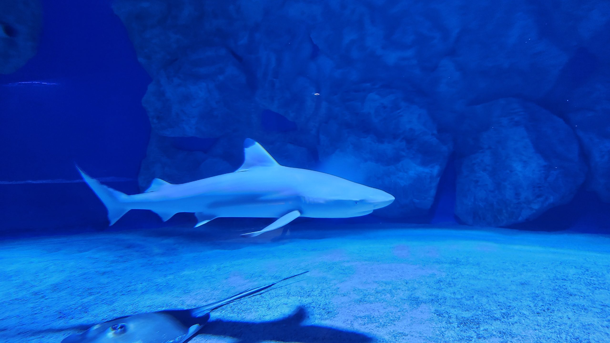
44.8485
13.8394
po-sledeh-narave-tujina
Pula Aquarium (Croatia)
*Hrvaška, Istra, Verudela bb
marker-id-13
https://www.kamnaizlet.com/wp-content/themes/glocal/images/markers/po-sledeh-narave-tujina.png
*Hrvaška, Istra, Verudela bb
44.8485
13.8394
muzeji
Pula Aquarium (Croatia)
*Hrvaška, Istra, Verudela bb
marker-id-14
https://www.kamnaizlet.com/wp-content/themes/glocal/images/markers/muzeji.png
*Hrvaška, Istra, Verudela bb
46.0501911
14.5037666
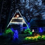
praznicni-december
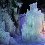
An icy fantasy in the heart of the capital
Slovenija, Osrednje slovenska, Ljubljana, Kongresni trg
marker-id-15
http://www.kamnaizlet.com/wp-content/uploads/2016/11/praznicni-december-green.png
Slovenija, Osrednje slovenska, Ljubljana, Kongresni trg
46.1503156
15.0443189
muzeji
Virtual Mining Museum – 4th DRITL
Slovenija, Štajerska, Delavski dom Trbovlje, Trg svobode 11/a, 1420 Trbovl
marker-id-16
https://www.kamnaizlet.com/wp-content/themes/glocal/images/markers/muzeji.png
Slovenija, Štajerska, Delavski dom Trbovlje, Trg svobode 11/a, 1420 Trbovl
46.146618
15.559883
izletniske-tocke
Odisej Planetarium on Jelenov Ridge
Slovenija, Štajerska, Olimje, Jelenov greben
marker-id-17
https://www.kamnaizlet.com/wp-content/themes/glocal/images/markers/izletniske-tocke.png
Slovenija, Štajerska, Olimje, Jelenov greben
46.146618
15.559883
otroski-koticki
Odisej Planetarium on Jelenov Ridge
Slovenija, Štajerska, Olimje, Jelenov greben
marker-id-18
https://www.kamnaizlet.com/wp-content/themes/glocal/images/markers/otroski-koticki.png
Slovenija, Štajerska, Olimje, Jelenov greben
46.4849533
13.779478400000016
adrenalinski-izleti
"Besna Pehta" – Summer Sledding
Slovenija, Gorenjska, Rekreacijsko turistični center Žičnice Kranjska Gora, Borovška cesta 103A, 4280 Kranjska Gora
marker-id-19
https://www.kamnaizlet.com/wp-content/themes/glocal/images/markers/adrenalinski-izleti.png
Slovenija, Gorenjska, Rekreacijsko turistični center Žičnice Kranjska Gora, Borovška cesta 103A, 4280 Kranjska Gora
46.48409
13.833396600000015
otroski-koticki
Mišmaš Bakery
Slovenija, Gorenjska, Hotel Rute, Zgornje Rute 40, 4282 Gozd Martuljek
marker-id-20
https://www.kamnaizlet.com/wp-content/themes/glocal/images/markers/otroski-koticki.png
Slovenija, Gorenjska, Hotel Rute, Zgornje Rute 40, 4282 Gozd Martuljek
46.4613825
13.9417362
otroski-koticki
A Walk Through the Fairy Tales of Triglav
Slovenija, Gorenjska, Savska cesta 1, 4281 Mojstrana
marker-id-21
https://www.kamnaizlet.com/wp-content/themes/glocal/images/markers/otroski-koticki.png
Slovenija, Gorenjska, Savska cesta 1, 4281 Mojstrana
46.6094637
14.1446241
po-sledeh-cloveka-tujina
From the Pyramidenkogel tower via the slide (Aut)
*Avstrija, Linden 62, 9074 Vrbsko jezero
marker-id-22
https://www.kamnaizlet.com/wp-content/themes/glocal/images/markers/po-sledeh-cloveka-tujina.png
*Avstrija, Linden 62, 9074 Vrbsko jezero
46.0674444
14.5377568
otroski-koticki
Escape room for kids
Slovenija, Osrednje slovenska, Otroška akademija Izobraževalni center d.o.o. Šmartinska cesta 106 1000 Ljubljana
marker-id-23
https://www.kamnaizlet.com/wp-content/themes/glocal/images/markers/otroski-koticki.png
Slovenija, Osrednje slovenska, Otroška akademija Izobraževalni center d.o.o. Šmartinska cesta 106 1000 Ljubljana
45.8218287
16.0195036
po-sledeh-cloveka-tujina
Zagreb Zoo
*Hrvaška, Zagreb, Zoološki Vrt Grada Zagreb, Maksimirski perivoj bb
marker-id-24
https://www.kamnaizlet.com/wp-content/themes/glocal/images/markers/po-sledeh-cloveka-tujina.png
*Hrvaška, Zagreb, Zoološki Vrt Grada Zagreb, Maksimirski perivoj bb
46.3351538
14.9627139
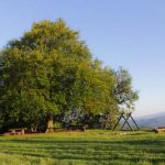
parki
Mozirski Gaj – Flower Park
Slovenija, Štajerska, Cesta v Savinjski gaj, 3330 Mozirje
marker-id-25
https://www.kamnaizlet.com/wp-content/themes/glocal/images/markers/parki.png
Slovenija, Štajerska, Cesta v Savinjski gaj, 3330 Mozirje
45.528813
13.569403
muzeji
Mediadom Pyrhani – Piran Multimedia Museum
Slovenija, Primorska, Mediadom Pyrhani, Kumarjeva ulica 3, 6330 Piran
marker-id-26
https://www.kamnaizlet.com/wp-content/themes/glocal/images/markers/muzeji.png
Slovenija, Primorska, Mediadom Pyrhani, Kumarjeva ulica 3, 6330 Piran
46.1201555
14.8359269
pohodniske-tocke
The trail around Slivna via Pivkelj Pass
Slovenija, Osrednje slovenska, Družinsko gledališče Kolenc, Vače 12, 1252 Vače
marker-id-27
https://www.kamnaizlet.com/wp-content/themes/glocal/images/markers/pohodniske-tocke.png
Slovenija, Osrednje slovenska, Družinsko gledališče Kolenc, Vače 12, 1252 Vače
46.1201555
14.8359269
pohodniske-tocke
The GEOSS Circular Route
Slovenija, Osrednje slovenska, Družinsko gledališče Kolenc, Vače 12, 1252 Vače
marker-id-28
https://www.kamnaizlet.com/wp-content/themes/glocal/images/markers/pohodniske-tocke.png
Slovenija, Osrednje slovenska, Družinsko gledališče Kolenc, Vače 12, 1252 Vače
45.93864749
14.24252550
toplice-zdravilisca
Logatec Swimming Pool
Slovenija, Osrednje slovenska, IOC Zapolje III/5, 1370 Logatec
marker-id-29
https://www.kamnaizlet.com/wp-content/themes/glocal/images/markers/toplice-zdravilisca.png
Slovenija, Osrednje slovenska, IOC Zapolje III/5, 1370 Logatec
45.40076607766131
13.975073231027181
po-sledeh-narave-tujina
The Trail of Seven Waterfalls – Buzet (Croatia)
*Hrvaška, Buzet, parkirišče ob Istrskem vodovodu
marker-id-30
https://www.kamnaizlet.com/wp-content/themes/glocal/images/markers/po-sledeh-narave-tujina.png
*Hrvaška, Buzet, parkirišče ob Istrskem vodovodu
46.4102614
14.6044186
pohodniske-ture-nad-1200m
The Matkov Kot and Matkov Škaf Hiking Trail
Slovenija, Štajerska, Kmetija Matk
marker-id-31
http://www.kamnaizlet.com/wp-content/themes/glocal/images/icons/pohodniske-tocke-green.png
Slovenija, Štajerska, Kmetija Matk
46.486111
13.992221
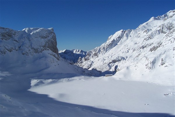
pohodniske-ture-nad-1200m
Dovška Baba 1,891 m
Slovenija, Gorenjska, Dovška baba
marker-id-32
http://www.kamnaizlet.com/wp-content/themes/glocal/images/icons/pohodniske-tocke-green.png
Slovenija, Gorenjska, Dovška baba
46.836074
16.030530
pohodniske-ture-pod-1200m
Sotinski Hill 418 m
Slovenija, Prekmurje, Sotinski breg
marker-id-33
http://www.kamnaizlet.com/wp-content/themes/glocal/images/icons/pohodniske-tocke-green.png
Slovenija, Prekmurje, Sotinski breg
46.515
13.861
pohodniske-ture-nad-1200m
Trupejevo Poldne (1,931 m)
Slovenija, Gorenjska, Trupejevo Poldne, Gozd Martuljek
marker-id-34
http://www.kamnaizlet.com/wp-content/themes/glocal/images/icons/pohodniske-tocke-green.png
Slovenija, Gorenjska, Trupejevo Poldne, Gozd Martuljek
46.5061457
14.9708112
kolesarske-poti
Cycling around Mount Uršlja
Slovenija, Koroška, Ivarčko jezero
marker-id-35
http://www.kamnaizlet.com/wp-content/themes/glocal/images/icons/izletniske-tocke-green.png
Slovenija, Koroška, Ivarčko jezero
46.1799432
14.9440262
pohodniske-ture-pod-1200m
Mountain Hut on Čemšeniška Planina (1,120 m)
Slovenija, Štajerska, Čemšenik
marker-id-36
http://www.kamnaizlet.com/wp-content/themes/glocal/images/icons/pohodniske-tocke-green.png
Slovenija, Štajerska, Čemšenik
46.2264723
15.1004037
jezera
Druškovič Pond
Slovenija, Štajerska, Sv. Lovrenc 79, Prebold
marker-id-37
https://www.kamnaizlet.com/wp-content/themes/glocal/images/markers/jezera.png
Slovenija, Štajerska, Sv. Lovrenc 79, Prebold
46.337816
14.081135
pohodniske-ture-pod-1200m
Babji Zob – 1,128 m
Slovenija, Gorenjska, Kupljenik
marker-id-38
http://www.kamnaizlet.com/wp-content/themes/glocal/images/icons/pohodniske-tocke-green.png
Slovenija, Gorenjska, Kupljenik
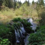
46.3483421
14.0593510
slapovi
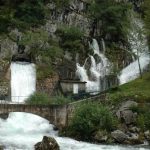
The Waterfall Below Iglico
Slovenija, Gorenjska, Slap Iglica, Bohinjska Bela
marker-id-39
https://www.kamnaizlet.com/wp-content/themes/glocal/images/markers/slapovi.png
Slovenija, Gorenjska, Slap Iglica, Bohinjska Bela
46.3468302
14.1230636
muzeji
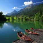
A ride on the museum train along the picturesque Bohinj railway line
Slovenija, Gorenjska, Bohinj
marker-id-40
https://www.kamnaizlet.com/wp-content/themes/glocal/images/markers/muzeji.png
Slovenija, Gorenjska, Bohinj
45.891343
13.901415
naravne-znamenitosti
Nature Trail to the Source of the Hubelj River
Slovenija, Primorska, Športni park Pale, Ajdovščina
marker-id-41
https://www.kamnaizlet.com/wp-content/themes/glocal/images/markers/naravne-znamenitosti.png
Slovenija, Primorska, Športni park Pale, Ajdovščina
46.2961339
14.3275455
naravne-znamenitosti
Themed Trails in Udin Boršt
Slovenija, Gorenjska, Udin boršt
marker-id-42
https://www.kamnaizlet.com/wp-content/themes/glocal/images/markers/naravne-znamenitosti.png
Slovenija, Gorenjska, Udin boršt
46.6833333
15.6333333
izletniske-tocke
Plački Tower
Slovenija, Štajerska, Plački stolp, Plački Vrh
marker-id-43
https://www.kamnaizlet.com/wp-content/themes/glocal/images/markers/izletniske-tocke.png
Slovenija, Štajerska, Plački stolp, Plački Vrh
46.3610951
15.6785764
jezera
Lake Sestrsko
Slovenija, Štajerska, Medvedce 2322
marker-id-44
https://www.kamnaizlet.com/wp-content/themes/glocal/images/markers/jezera.png
Slovenija, Štajerska, Medvedce 2322
46.0095077
15.6839257
izletniske-tocke
The nesting site of the bee-eater
Slovenija, Štajerska, Župjek
marker-id-45
https://www.kamnaizlet.com/wp-content/themes/glocal/images/markers/izletniske-tocke.png
Slovenija, Štajerska, Župjek
45.7203703
14.7176411
naravne-znamenitosti
The Source of the Ribnica River
Slovenija, Dolenjska, izvir Ribnice
marker-id-46
https://www.kamnaizlet.com/wp-content/themes/glocal/images/markers/naravne-znamenitosti.png
Slovenija, Dolenjska, izvir Ribnice
45.703525
14.223672
jezera
Lake Petelinjsko
Slovenija, Notranjska, Petelinjsko jezero
marker-id-47
https://www.kamnaizlet.com/wp-content/themes/glocal/images/markers/jezera.png
Slovenija, Notranjska, Petelinjsko jezero
45.685467
14.254036
jezera
Lake Palško
Slovenija, Notranjska, Palško jezero
marker-id-48
https://www.kamnaizlet.com/wp-content/themes/glocal/images/markers/jezera.png
Slovenija, Notranjska, Palško jezero
45.9405468
13.7682426
cerkve
Saint Mary above Vitovlje
Slovenija, Severna Primorska, Vitovlje
marker-id-49
https://www.kamnaizlet.com/wp-content/themes/glocal/images/markers/cerkve.png
Slovenija, Severna Primorska, Vitovlje
45.9405468
13.7682426
pohodniske-ture-pod-1200m
Saint Mary above Vitovlje
Slovenija, Severna Primorska, Vitovlje
marker-id-50
http://www.kamnaizlet.com/wp-content/themes/glocal/images/icons/pohodniske-tocke-green.png
Slovenija, Severna Primorska, Vitovlje
46.5735427
16.3801091
naravne-znamenitosti
Polanski Log
Slovenija, Prekmurje, Mala Polana
marker-id-51
https://www.kamnaizlet.com/wp-content/themes/glocal/images/markers/naravne-znamenitosti.png
Slovenija, Prekmurje, Mala Polana
46.6090673
15.1628969
muzeji
The Blacksmithing, Foundry, and Firefighting Museum in Zgornja Muta
Slovenija, Štajerska, Zgornja Muta
marker-id-52
https://www.kamnaizlet.com/wp-content/themes/glocal/images/markers/muzeji.png
Slovenija, Štajerska, Zgornja Muta
46.3835457
14.6192200
naravne-znamenitosti
The source of the Črna River in the Logarska Valley
Slovenija, Štajerska, Logarska dolina,
marker-id-53
https://www.kamnaizlet.com/wp-content/themes/glocal/images/markers/naravne-znamenitosti.png
Slovenija, Štajerska, Logarska dolina,
46.0538740
15.1387583
naravne-znamenitosti
Gašper's Chestnut
Slovenija, Dolenjska, Radeče - Močilno
marker-id-54
https://www.kamnaizlet.com/wp-content/themes/glocal/images/markers/naravne-znamenitosti.png
Slovenija, Dolenjska, Radeče - Močilno
46.175004
14.008004
slapovi
Tax Waterfalls
Slovenia, Gorenjska, Davški slapovi
marker-id-55
https://www.kamnaizlet.com/wp-content/themes/glocal/images/markers/slapovi.png
Slovenia, Gorenjska, Davški slapovi
46.05039700
13.98670208
izletniske-tocke
Idrija Valleys – Masore
Slovenija, Severna Primorska, Idrijske Krnice
marker-id-56
https://www.kamnaizlet.com/wp-content/themes/glocal/images/markers/izletniske-tocke.png
Slovenija, Severna Primorska, Idrijske Krnice
46.2192084
15.1257831
pohodniske-ture-pod-1200m
Dragov Lodge on Hom – 605 m
Slovenija, Štajerska, Dragov dom na Homu
marker-id-57
http://www.kamnaizlet.com/wp-content/themes/glocal/images/icons/pohodniske-tocke-green.png
Slovenija, Štajerska, Dragov dom na Homu
43.9405483
15.45675419
po-sledeh-cloveka-tujina
A new amusement park is opening in Croatia – Fun Park Mirnovec
*Hrvaška, Fra Lina Pedisića 4, 23 210 Biograd na Moru
marker-id-58
https://www.kamnaizlet.com/wp-content/themes/glocal/images/markers/po-sledeh-cloveka-tujina.png
*Hrvaška, Fra Lina Pedisića 4, 23 210 Biograd na Moru
46.049616
14.503382
muzeji
Museum of Illusions, Ljubljana
Slovenija, Osrednje slovenska, Kongresni trg 13, Ljubljana
marker-id-59
https://www.kamnaizlet.com/wp-content/themes/glocal/images/markers/muzeji.png
Slovenija, Osrednje slovenska, Kongresni trg 13, Ljubljana
45.8931374
15.6215743
gradovi
Small Castle – Castles
Slovenija, Štajerska, Topliška cesta 35, 8251 Čatež ob Savi
marker-id-60
https://www.kamnaizlet.com/wp-content/themes/glocal/images/markers/gradovi.png
Slovenija, Štajerska, Topliška cesta 35, 8251 Čatež ob Savi
46.4613010
13.9395386
praznicni-december
Ice Spectacle – Live Nativity Scene in the Ice Kingdom
Slovenija, Gorenjska, Mojstrana
marker-id-61
http://www.kamnaizlet.com/wp-content/uploads/2016/11/praznicni-december-green.png
Slovenija, Gorenjska, Mojstrana
46.063676
14.547980
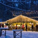
praznicni-december
Frozen Returns to Ljubljana
Slovenija, Osrednje slovenska, Atlantis, Šmartinska cesta, 1000 Ljubljana
marker-id-62
http://www.kamnaizlet.com/wp-content/uploads/2016/11/praznicni-december-green.png
Slovenija, Osrednje slovenska, Atlantis, Šmartinska cesta, 1000 Ljubljana
46.334506
14.961203
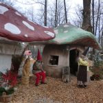
praznicni-december
Slovenia's Christmas Fairy Tale – Mozirski Gaj
Slovenija, Štajerska, Hribernikova 1, 3300 Mozirje
marker-id-63
http://www.kamnaizlet.com/wp-content/uploads/2016/11/praznicni-december-green.png
Slovenija, Štajerska, Hribernikova 1, 3300 Mozirje
46.6080556
14.1452778
praznicni-december
Advent Market at the Pyramidenkogel Tower (Carinthia, Austria)
*Avstrija, stolp Pyramidenkogel, Vrbsko jezero
marker-id-64
http://www.kamnaizlet.com/wp-content/uploads/2016/11/praznicni-december-green.png
*Avstrija, stolp Pyramidenkogel, Vrbsko jezero
46.57912
14.74854
praznicni-december
Christmas Market in Peca (Austrian Carinthia)
*Avstrija, Petzen Bergbahnen GmbH Unterort 52 9143 St. Michael ob Bleiburg
marker-id-65
http://www.kamnaizlet.com/wp-content/uploads/2016/11/praznicni-december-green.png
*Avstrija, Petzen Bergbahnen GmbH Unterort 52 9143 St. Michael ob Bleiburg
46.1781353
14.3233182
praznicni-december
The Fairytale Land of Gorajte
Slovenija, Gorenjska, Gorajte, Virmaše
marker-id-66
http://www.kamnaizlet.com/wp-content/uploads/2016/11/praznicni-december-green.png
Slovenija, Gorenjska, Gorajte, Virmaše
46.433333
14.266666
pohodniske-tocke
Zelenica – 1,536 m
Slovenija, Gorenjska, Zelenica, izhodišče Ljubelj
marker-id-67
https://www.kamnaizlet.com/wp-content/themes/glocal/images/markers/pohodniske-tocke.png
Slovenija, Gorenjska, Zelenica, izhodišče Ljubelj
46.433333
14.266666
pohodniske-ture-nad-1200m
Zelenica – 1,536 m
Slovenija, Gorenjska, Zelenica, izhodišče Ljubelj
marker-id-68
http://www.kamnaizlet.com/wp-content/themes/glocal/images/icons/pohodniske-tocke-green.png
Slovenija, Gorenjska, Zelenica, izhodišče Ljubelj
46.359167
14.601667
pohodniske-ture-nad-1200m
Kamniška Hut on the Kamnik Saddle – 1,864 m
Slovenija, Gorenjska, Kamniško sedlo
marker-id-69
http://www.kamnaizlet.com/wp-content/themes/glocal/images/icons/pohodniske-tocke-green.png
Slovenija, Gorenjska, Kamniško sedlo
46.3028281
14.4269967
jezera
Lake Črnava
Slovenija, Gorenjska, Jezero Črnava, hotel Bor, Preddvor
marker-id-70
https://www.kamnaizlet.com/wp-content/themes/glocal/images/markers/jezera.png
Slovenija, Gorenjska, Jezero Črnava, hotel Bor, Preddvor
46.4246235
14.3352638
pohodniske-ture-nad-1200m
Šija Mountain Hut – 1,523 m
Slovenija, Gorenjska, Taborniški dom Šija, Jelendol 31, Tržič
marker-id-71
http://www.kamnaizlet.com/wp-content/themes/glocal/images/icons/pohodniske-tocke-green.png
Slovenija, Gorenjska, Taborniški dom Šija, Jelendol 31, Tržič
46.2133591
14.5399861
pohodniske-ture-pod-1200m
Komenda Mountain Hut
Slovenija, Gorenjska, Planinski dom Komenda, Podboršt pri Komendi 7g, 1218 Komenda
marker-id-72
http://www.kamnaizlet.com/wp-content/themes/glocal/images/icons/pohodniske-tocke-green.png
Slovenija, Gorenjska, Planinski dom Komenda, Podboršt pri Komendi 7g, 1218 Komenda
46.2133591
14.5399861
otroski-koticki
Komenda Mountain Hut
Slovenija, Gorenjska, Planinski dom Komenda, Podboršt pri Komendi 7g, 1218 Komenda
marker-id-73
https://www.kamnaizlet.com/wp-content/themes/glocal/images/markers/otroski-koticki.png
Slovenija, Gorenjska, Planinski dom Komenda, Podboršt pri Komendi 7g, 1218 Komenda
46.1577020
14.7735852
pohodniske-ture-pod-1200m
Limbarska Mountain – 773 m
Slovenija, Osrednje slovenska, Limbarska gora, Moravče
marker-id-74
http://www.kamnaizlet.com/wp-content/themes/glocal/images/icons/pohodniske-tocke-green.png
Slovenija, Osrednje slovenska, Limbarska gora, Moravče
45.9638393
14.2972634
kolesarske-poti
By bike to the headwaters of the Ljubljanica River and through the mysterious Ljubljana Marshes
Slovenija, Osrednje slovenska, TIC VrhnikaTržaška cesta 9, Vrhnika
marker-id-75
http://www.kamnaizlet.com/wp-content/themes/glocal/images/icons/izletniske-tocke-green.png
Slovenija, Osrednje slovenska, TIC VrhnikaTržaška cesta 9, Vrhnika
45.9638393
14.2972634
izletniske-tocke
By bike to the headwaters of the Ljubljanica River and through the mysterious Ljubljana Marshes
Slovenija, Osrednje slovenska, TIC VrhnikaTržaška cesta 9, Vrhnika
marker-id-76
https://www.kamnaizlet.com/wp-content/themes/glocal/images/markers/izletniske-tocke.png
Slovenija, Osrednje slovenska, TIC VrhnikaTržaška cesta 9, Vrhnika
46.491092
14.794073
pohodniske-tocke
Peci Mountain Hut – 1,665 m
Slovenija, Koroška, Dom na Peci, Karavanke
marker-id-77
https://www.kamnaizlet.com/wp-content/themes/glocal/images/markers/pohodniske-tocke.png
Slovenija, Koroška, Dom na Peci, Karavanke
46.491092
14.794073
pohodniske-ture-nad-1200m
Peci Mountain Hut – 1,665 m
Slovenija, Koroška, Dom na Peci, Karavanke
marker-id-78
http://www.kamnaizlet.com/wp-content/themes/glocal/images/icons/pohodniske-tocke-green.png
Slovenija, Koroška, Dom na Peci, Karavanke
46.308210
14.700050
izletniske-tocke
The Sawmill
Slovenija, Štajerska, Žagerski mlin, Podvolovljek
marker-id-79
https://www.kamnaizlet.com/wp-content/themes/glocal/images/markers/izletniske-tocke.png
Slovenija, Štajerska, Žagerski mlin, Podvolovljek
46.3118535
14.7009611
pohodniske-tocke
Dleskovška Plateau
Slovenija, Štajerska, Podvolovljek, Planina Podvežak
marker-id-80
https://www.kamnaizlet.com/wp-content/themes/glocal/images/markers/pohodniske-tocke.png
Slovenija, Štajerska, Podvolovljek, Planina Podvežak
46.3118535
14.7009611
pohodniske-ture-pod-1200m
Dleskovška Plateau
Slovenija, Štajerska, Podvolovljek, Planina Podvežak
marker-id-81
http://www.kamnaizlet.com/wp-content/themes/glocal/images/icons/pohodniske-tocke-green.png
Slovenija, Štajerska, Podvolovljek, Planina Podvežak
46.5066666
15.1980555
pohodniske-tocke
Grmovšek Hut below Velika Kopa – 1,377 m
Slovenija, Štajerska, Velika Kopa, Pohorje
marker-id-82
https://www.kamnaizlet.com/wp-content/themes/glocal/images/markers/pohodniske-tocke.png
Slovenija, Štajerska, Velika Kopa, Pohorje
46.5066666
15.1980555
pohodniske-ture-nad-1200m
Grmovšek Hut below Velika Kopa – 1,377 m
Slovenija, Štajerska, Velika Kopa, Pohorje
marker-id-83
http://www.kamnaizlet.com/wp-content/themes/glocal/images/icons/pohodniske-tocke-green.png
Slovenija, Štajerska, Velika Kopa, Pohorje
45.962111
14.822279
pohodniske-tocke
Lavrič Hut on Gradišče – 510 m
Slovenija, Dolenjska, Lavričeva koča na Gradišču , Stična
marker-id-84
https://www.kamnaizlet.com/wp-content/themes/glocal/images/markers/pohodniske-tocke.png
Slovenija, Dolenjska, Lavričeva koča na Gradišču , Stična
45.962111
14.822279
pohodniske-ture-pod-1200m
Lavrič Hut on Gradišče – 510 m
Slovenija, Dolenjska, Lavričeva koča na Gradišču , Stična
marker-id-85
http://www.kamnaizlet.com/wp-content/themes/glocal/images/icons/pohodniske-tocke-green.png
Slovenija, Dolenjska, Lavričeva koča na Gradišču , Stična
45.6883333
14.0619444
pohodniske-tocke
Velika Vremščica – 1,027 m
Slovenija, Primorska, Vremščica, od Divače do Pivke
marker-id-86
https://www.kamnaizlet.com/wp-content/themes/glocal/images/markers/pohodniske-tocke.png
Slovenija, Primorska, Vremščica, od Divače do Pivke
45.6883333
14.0619444
pohodniske-ture-pod-1200m
Velika Vremščica – 1,027 m
Slovenija, Primorska, Vremščica, od Divače do Pivke
marker-id-87
http://www.kamnaizlet.com/wp-content/themes/glocal/images/icons/pohodniske-tocke-green.png
Slovenija, Primorska, Vremščica, od Divače do Pivke
45.7561758
13.8320124
izletniske-tocke
Pepin's Karst Garden and the Teran Circular Trail
Slovenija, Primorska, Bunčetova domačija, Dutovlje
marker-id-88
https://www.kamnaizlet.com/wp-content/themes/glocal/images/markers/izletniske-tocke.png
Slovenija, Primorska, Bunčetova domačija, Dutovlje
45.644643
13.899849
pohodniske-tocke
Kokoša Hut – 674 m
Slovenija, Primorska, Koča na Kokoši, pri Lipici
marker-id-89
https://www.kamnaizlet.com/wp-content/themes/glocal/images/markers/pohodniske-tocke.png
Slovenija, Primorska, Koča na Kokoši, pri Lipici
45.644643
13.899849
pohodniske-ture-pod-1200m
Kokoša Hut – 674 m
Slovenija, Primorska, Koča na Kokoši, pri Lipici
marker-id-90
http://www.kamnaizlet.com/wp-content/themes/glocal/images/icons/pohodniske-tocke-green.png
Slovenija, Primorska, Koča na Kokoši, pri Lipici
46.2960303
15.0284567
gradovi
Žovnek Castle and Lake Braslovče
Slovenija, Štajerska, Braslovško jezero pri Polzeli
marker-id-91
https://www.kamnaizlet.com/wp-content/themes/glocal/images/markers/gradovi.png
Slovenija, Štajerska, Braslovško jezero pri Polzeli
46.2960303
15.0284567
jezera
Žovnek Castle and Lake Braslovče
Slovenija, Štajerska, Braslovško jezero pri Polzeli
marker-id-92
https://www.kamnaizlet.com/wp-content/themes/glocal/images/markers/jezera.png
Slovenija, Štajerska, Braslovško jezero pri Polzeli
46.23899
14.07439
pohodniske-tocke
Krek's Hut on Ratitovec – 1,642 m
Slovenija, Gorenjska, Ratitovec, Prtovč
marker-id-93
https://www.kamnaizlet.com/wp-content/themes/glocal/images/markers/pohodniske-tocke.png
Slovenija, Gorenjska, Ratitovec, Prtovč
46.23899
14.07439
pohodniske-ture-nad-1200m
Krek's Hut on Ratitovec – 1,642 m
Slovenija, Gorenjska, Ratitovec, Prtovč
marker-id-94
http://www.kamnaizlet.com/wp-content/themes/glocal/images/icons/pohodniske-tocke-green.png
Slovenija, Gorenjska, Ratitovec, Prtovč
46.1671294
14.3058336
pohodniske-tocke
Lubnik Mountain Hut – 1,025 m
Slovenija, Gorenjska, Koča na Lubniku, Škofja Loka
marker-id-95
https://www.kamnaizlet.com/wp-content/themes/glocal/images/markers/pohodniske-tocke.png
Slovenija, Gorenjska, Koča na Lubniku, Škofja Loka
46.1671294
14.3058336
pohodniske-ture-pod-1200m
Lubnik Mountain Hut – 1,025 m
Slovenija, Gorenjska, Koča na Lubniku, Škofja Loka
marker-id-96
http://www.kamnaizlet.com/wp-content/themes/glocal/images/icons/pohodniske-tocke-green.png
Slovenija, Gorenjska, Koča na Lubniku, Škofja Loka
46.0063791
15.6370564
gradovi
Pišece Castle
Slovenija, Štajerska, Grad Pišece¸, Pišeče
marker-id-97
https://www.kamnaizlet.com/wp-content/themes/glocal/images/markers/gradovi.png
Slovenija, Štajerska, Grad Pišece¸, Pišeče
46.015131
15.692776
izletniske-tocke
Repnice
Slovenija, Štajerska, Repnice, Bizeljsko
marker-id-98
https://www.kamnaizlet.com/wp-content/themes/glocal/images/markers/izletniske-tocke.png
Slovenija, Štajerska, Repnice, Bizeljsko
46.2914564
14.2042992
muzeji
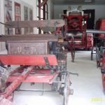
Blacksmithing Museum
Slovenija, Gorenjska, Kovaški muzej, Kropa
marker-id-99
https://www.kamnaizlet.com/wp-content/themes/glocal/images/markers/muzeji.png
Slovenija, Gorenjska, Kovaški muzej, Kropa
46.37614
14.24602
pohodniske-tocke
Dobrča Hut (1,478 m)
Slovenija, Gorenjska, Koča na Dobrči, Zadnja vas
marker-id-100
https://www.kamnaizlet.com/wp-content/themes/glocal/images/markers/pohodniske-tocke.png
Slovenija, Gorenjska, Koča na Dobrči, Zadnja vas
46.37614
14.24602
pohodniske-ture-nad-1200m
Dobrča Hut (1,478 m)
Slovenija, Gorenjska, Koča na Dobrči, Zadnja vas
marker-id-101
http://www.kamnaizlet.com/wp-content/themes/glocal/images/icons/pohodniske-tocke-green.png
Slovenija, Gorenjska, Koča na Dobrči, Zadnja vas
46.3378666
13.5511136
adrenalinski-izleti
Srnica Adventure Park
Slovenija, Gorenjska, Agencija Outdoor Galaxy, Kot 1, Bovec
marker-id-102
https://www.kamnaizlet.com/wp-content/themes/glocal/images/markers/adrenalinski-izleti.png
Slovenija, Gorenjska, Agencija Outdoor Galaxy, Kot 1, Bovec
46.25
14.8166
pohodniske-tocke
Menina Mountain
Slovenija, Gorenjska, Menina planina, pri Tuhinjski dolini
marker-id-103
https://www.kamnaizlet.com/wp-content/themes/glocal/images/markers/pohodniske-tocke.png
Slovenija, Gorenjska, Menina planina, pri Tuhinjski dolini
46.25
14.8166
pohodniske-ture-pod-1200m
Menina Mountain
Slovenija, Gorenjska, Menina planina, pri Tuhinjski dolini
marker-id-104
http://www.kamnaizlet.com/wp-content/themes/glocal/images/icons/pohodniske-tocke-green.png
Slovenija, Gorenjska, Menina planina, pri Tuhinjski dolini
45.676932
13.101050
po-sledeh-cloveka-tujina
Gulliverlandia (Italy)
*Italija, Gulliverlandia, Via San Giuliano 13, 33054 Lignano Sabbiadoro, Italija
marker-id-105
https://www.kamnaizlet.com/wp-content/themes/glocal/images/markers/po-sledeh-cloveka-tujina.png
*Italija, Gulliverlandia, Via San Giuliano 13, 33054 Lignano Sabbiadoro, Italija
46.2342121
15.7027476
muzeji
Rogatec Open-Air Museum
Slovenija, Štajerska, Muzej na prostem Rogatec,Ptujska cesta 23, 3252 Rogatec
marker-id-106
https://www.kamnaizlet.com/wp-content/themes/glocal/images/markers/muzeji.png
Slovenija, Štajerska, Muzej na prostem Rogatec,Ptujska cesta 23, 3252 Rogatec
46.5847279
16.2762351
cerkve
Church of the Holy Trinity – Odranci
Slovenija, Prekmurje, Cerkev Odranci,
Trg Lojzeta Kozarja 1,
9233 Odranci
marker-id-107
https://www.kamnaizlet.com/wp-content/themes/glocal/images/markers/cerkve.png
Slovenija, Prekmurje, Cerkev Odranci,
Trg Lojzeta Kozarja 1,
9233 Odranci
45.8174054
15.3554652
muzeji
Pleterje Open-Air Museum
Slovenija, Dolenjska, Muzej na prostem Pleterje,
Drča 1,
8310 Šentjernej
marker-id-108
https://www.kamnaizlet.com/wp-content/themes/glocal/images/markers/muzeji.png
Slovenija, Dolenjska, Muzej na prostem Pleterje,
Drča 1,
8310 Šentjernej
46.2221964
14.6072967
pohodniske-tocke
High Peak above Kamnik – 660 m
Slovenija, Gorenjska, Visoka špica, Kamnik
marker-id-109
https://www.kamnaizlet.com/wp-content/themes/glocal/images/markers/pohodniske-tocke.png
Slovenija, Gorenjska, Visoka špica, Kamnik
46.2221964
14.6072967
pohodniske-ture-pod-1200m
High Peak above Kamnik – 660 m
Slovenija, Gorenjska, Visoka špica, Kamnik
marker-id-110
http://www.kamnaizlet.com/wp-content/themes/glocal/images/icons/pohodniske-tocke-green.png
Slovenija, Gorenjska, Visoka špica, Kamnik


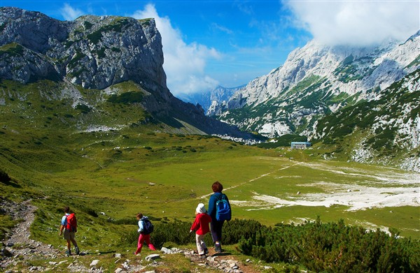
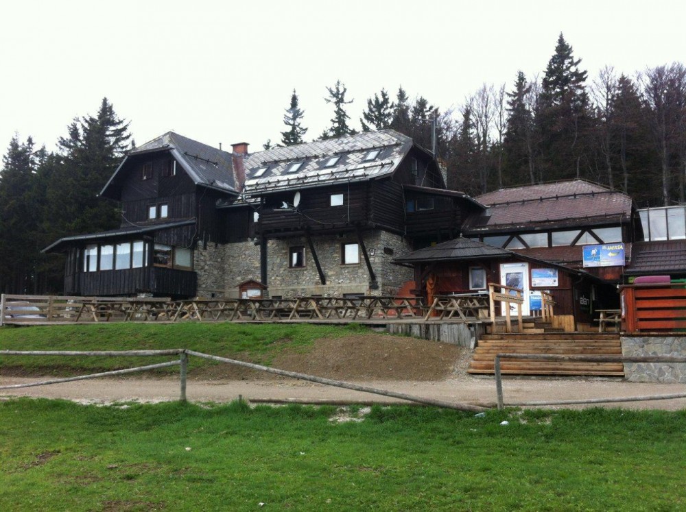
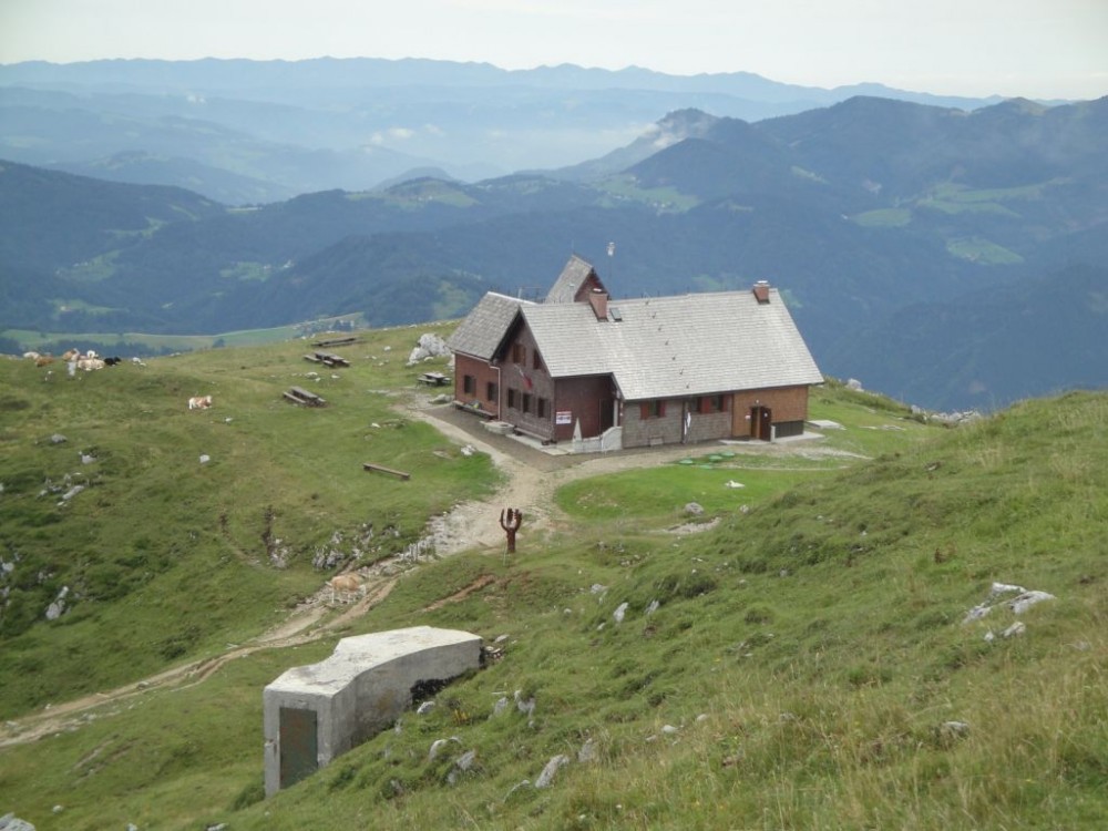


 Characteristic are the rounded peaks of Dleskovec (1,965 m), Tolsti vrh (1,986 m), Deska (1,970 m), Lastovec (1,841 m), and Lučki dedec (2,023 m)… More prominent is Veliki vrh (2,110 m) with Velika Zelenica (2,114 m), while above Robanov kot stretches the ridge of Poljske device (2,028 m) and Križevnik (1,909 m). Between these peaks lies a basin-like landscape, which is rocky in places, overgrown with dwarf pine and difficult to traverse, while elsewhere there are valleys and ravines that have been used as mountain pastures (Zelena trata, Dolga trata, Vodole, Vodotočne, Korošica). The Podvežak mountain pasture (1,440 m) lies on the southern edge of the plateau. A forest road leads right up to the pasture and provides easy access to the restored shepherd’s hut (15 min) and Korošica. Hikers may also find the approach from the Ravne mountain pasture (1,500 m) interesting, where there is also a restored shepherd’s hut.
 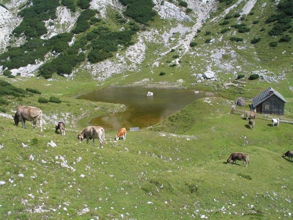 Access routes: